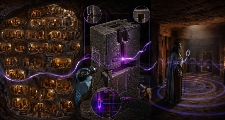
Researchers believe the polar opening is often hidden by holographic light screens to prevent detection from the air.
Did a 1991 research team discover a tropical paradise inside the North Pole? This dossier analyzes the controversial report of explorer Edmund Bork and the 1970 satellite photography released by the Department of Commerce. From the holographic light screens that hide the opening to the Admiral Richard E. Byrd flight logs of 1926, we examine the mechanical proof of a hollow planet.
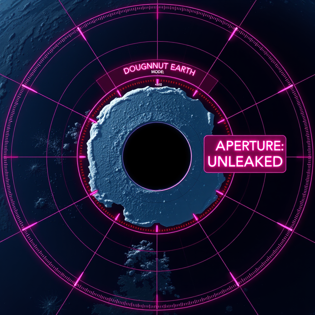
Explore the connection between the “green land” found by Leif Erickson and the 1,400-mile-wide aperture leading to the inner earth. Whether investigating the UFO flight patterns emerging from the poles or the 800-mile-thick crust model, this archive provides the data nodes for the 2026 global grid.
There’s a hole in the Pole!
From the SUN, February 25, 1992:
Scientist finds tropical paradise inside the Earth: There’s a hole in the Pole!
UFOs come from Inner Space — NOT Outer Space!
“THERE’S A HOLE in the North Pole and it leads to a tropical paradise located at the center of the earth.”
That’s the word from a highly respected scientist and explorer who led a research team to the top of the world last year. The mission was meant to check out astounding satellite photos revealing a large, dark opening at the North Pole.
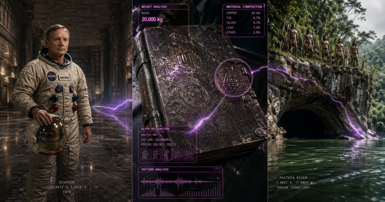
“We have found a fabulous world,” says Edmund Bork, who led a team of international explorers through the hole in the Pole last summer.
Tropical Vegetation
“It has its own sun, a shallow, warm water sea and lush, tropical vegetation.”
What’s more, the land within is inhabited by a highly advanced and very peaceful race of humans. The Danish explorer refuses specific details on what he and the five other members of his team found. However, he says they were led to the 1,400-mile wide opening to the inner earth by a satellite photo released by the U.S. Department of Commerce in 1970.
The photo, taken in late November 1968 reveals a huge, black opening at the top of the world.
There is a similar hole at the South Pole, Bork claims.
“The Earth is shaped like a huge doughnut,” he says. “We live on the outer side of the doughnut.”
Normally, the hole cannot be seen from the air because of the heavy cloud cover over the North Pole, and because the inhabitants of the hollow Earth keep it covered with electronic “light screens.”
The light screens give the illusion of vast fields of ice and snow through holographic manipulation of the real snow and ice that surrounds the opening, says Bork.
But the screens fail from time to time, especially during periods when the sun is in an intensive sunspot phase as it was in 1968.
“The hole is there and all we had to do was walk through the illusion,” he says.
Because the hole is so large, the slope down is very gradual and the explorers were hardly aware they were entering another world.
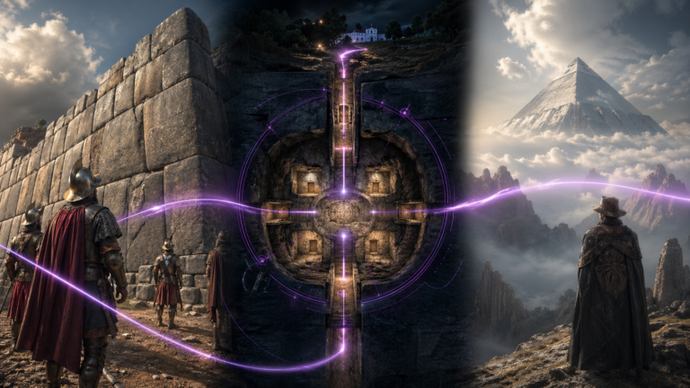
Bork and his associates were elated, but not surprised, to find the Earth is hollow — and inhabited. Belief that the world is hollow is thousands of years old, he explains.
“Legends of a hollow Earth and people who live there go back to the ancient Egyptians and Greeks. Even the American Indians believed people lived under our feet.”
A number of other men claim to have entered the hole in the North Pole.
They include William Shavers, a Navy pilot who crashed at the North Pole during World War II, and a tribe of wandering Eskimos who told a Canadian reporter in 1958 that they had found “a green land at the top of the world.” Leif Erickson and other Norse sea explorers claimed to have found a “lush green land” near the Arctic circle. “Later map makers thought they were talking about Greenland, but Greenland is hardly green, much less lush,” Bork says.
Impressive Evidence
Impressive evidence came with a radio transmission from Rear Admiral Richard E. Byrd, the great American polar explorer, as he flew over the North Pole in 1926.
“He said he saw below him a land of mountains, forests, green vegetation, lakes and rivers,” says Bork.
“There was no mention of snow and ice, and the land he described belonged somewhere in the temperate zone, not at the North Pole.
“It sounded a lot like what the Norsemen described and what we discovered.”
— JOHN COFFIN
SUN, February 25, 1992, pg. 11
MY COMMENTARY ON THIS ARTICLE:
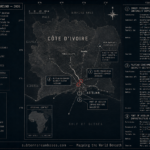
The Environmental Science Administration satellite photo included in this article does indeed show a large hole at the north pole. There is also a similar photo of the south pole. However, the hole shown cannot possibly be the actual polar opening since this picture obviously is a composite of many photographs taken by this satellite. As the satellite orbited the earth, pictures taken did not extend all the way to the poles because the polar area was out of its line-of-sight from it’s equator orbit. Therefore, when all the pictures taken are assembled into one mosaic composite picture, that area around the poles are left out of the assembled picture. Notice the overlay of the continents and that Greenland extends far up into the “hole.” Proof that this photo was not taken above the pole, is the continent of India visible at 1 oclock which is below the equator, which would not be visible to a satellite above the pole.
This picture created quite a stir when Ray Palmer first published it in his Flying Saucers Magazine when he first proclaimed his “Hole in the Pole” article on the hollow earth theory.
When this SUN article first came out, and was brought to my attention, I wrote the SUN tabloid to the attention of John Coffin, the supposed author, requesting information regarding Edmund Bork, whom he claims visited the hollow earth through the north polar opening, as reported in this article. I was very much interested in contacting this scientist regarding his discovery. But to my dismay, the SUN, nor John Coffin ever bothered responding to my letter.
Curiously, Coffin reports that a Navy pilot named William Shavers crashed at the north pole during World War II and found some Eskimos that told him of “a green land” at the top of the world. Is it by coincidence that Ray Palmer had a friend by the name of Shaver that hallucinated a lot and got Palmer to publish a lot of his gibberish regarding “Deros” and “Teros,” deformed and demented beings that supposedly inhabit the caverns beneath the earth’s surface, some of which inflict on the humans on the surface above tricks and interferences that cause accidents and other suffering of surface humans for their amusement and pleasure?
Although it would be nice if this article was true, little things like the author’s last name, the similarity of William Shavers to Ray Palmer’s hallucinating friend, and the paper’s unresponsiveness to further inquiry, all seem to indicate that this story was just a fabrication to help the SUN tabloid sell papers to entertain.
However, as these tabloids often do, some basis in fact is included in their fiction stories, which in this case is the evidence for the existence that our earth is hollow.
Items in this article that I believe are viable evidences for the hollow earth theory are:
There IS a polar opening near the north pole, although not centered over the north polar axis of the earth, that does lead to the inner earth.
Some satellite photos DO indicate anomalous areas near the north pole that could indicate the existence of a polar opening.
The earth IS hollow with a relatively thin shell of around 800 miles in thickness from the outside surface to the inner surface.
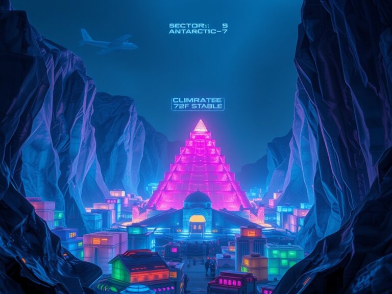
The earth DOES contain a small interior sun that gives light and life to the interior world and emits a solar wind that lights up the auroras and fills the Van Allen Radiation belts with highly charged particles.
The possibility of the interior inhabitants hiding the opening with holographic images of snow and ice is a tantalizing theory and is a possible explanation why very little is known about it.
The polar opening is large enough that the curvature into the interior is so slight that it would not be readily noticeable to polar explorers.
There ARE numerous legends from all over the world that the earth is hollow, including the Eskimos, American Indians, the Greeks, the Vikings, the Egyptians and others.
There ARE several stories of pilots stumbling onto the polar opening and even finding land with lush vegetation up near the pole.
Admiral Byrd did fly over the pole in 1926, as confirmed in Admundsen’s book, THE FIRST CROSSING OF THE POLAR SEA. But he didn’t discover the polar opening at that time. My evidence is that his first flight through the polar openings was in 1929. His relatives believe to this day that he discovered that the earth is hollow and inhabited within by a race of highly advanced peaceful humans beings “very large in stature.”
Many of the UFO’s, or flying saucers seen around the world DO originate from that nation living on the earth’s inner surface, as evidenced by their flight patterns being generally north and south indicating they come out through the polar openings when visiting the exterior of the planet. Many contactees say that the UFOnauts are concerned about our use of atomic weapons. The only reason they should be concerned is if they share our world and atmosphere with us because they live inside it.
Executive Summary
This report functions as a critical evaluation of 20th-century polar anomalies, distinguishing between tabloid sensationalism and verified geophysical data.
Key Investigative Pillars:
-
The 1968 ESA Satellite Photo: Technical analysis of the Environmental Science Administration mosaic often cited as proof of a “hole.” Note: Intelligence suggests the “hole” may be an artifact of equatorial orbital line-of-sight limitations.
-
Holographic Cloaking Technology: The theory that the 1,400-mile wide opening is masked by electronic “light screens” that project images of ice and snow to deceive surface-level surveillance.
-
The Bork Testimony: Documentation of the 1991 mission led by Edmund Bork, which reported lush tropical vegetation, a temperate sea, and advanced peaceful humans living within the Earth’s shell.
-
Inner Space Origin of UFOs: Analysis of saucer flight patterns which consistently trend North-South, suggesting that NHI craft originate from the interior sun civilizations rather than deep space.
-
Byrd’s 1929 Flight: While Byrd’s 1926 flight is often cited, tactical evidence points to his 1929 expedition as the true moment of discovery regarding the hollow Earth.
-
Indigenous Traditions: Synthesis of Eskimo and Native American legends describing ancestral origins and “green lands” at the top of the world.
“The Earth is shaped like a huge doughnut. We live on the outer side… the hole is there and all we had to do was walk through the illusion.”
Edmund Bork